Spirit Caves Trail

Trail Stats
Trailhead Location: https://maps.app.goo.gl/jznEKaynrrkYG6ob7
Round Trip Trail Distance in KM: 7
Elevation Gain in M: 600
Highest Point in M: 600
Dogs Allowed: Yes (on leash)
4 X 4 Needed: No
Map & Elevation Profile


Trail Access
The trailhead and small dirt pulloff parking area are accessed off of Trans Canada Highway 1 just before you reach the town of Yale. It is on your left side if you're heading up from Hope. There is a wooden trail sign.
Here is the google map for the parking area: https://maps.app.goo.gl/dJqp5U4xC37xU8gv8

Dogs on-leash are permitted on the trail, but please be responsible to ensure they are leashed and under control, picked up after, and do not wander off the trail to disturb wildlife or the surrounding habitat.
There is no toilet on or near this trail.
When hiking every trail please practice Leave No Trace principles and pack out anything you pack in.
Trail Description
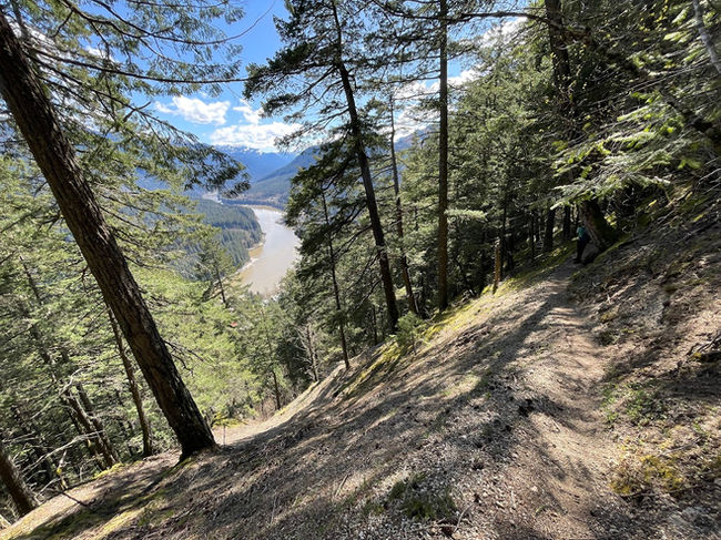
This is a very steep trail including one short section with a bit of exposure on a steep hillside. Caution is required, especially during wet conditions.
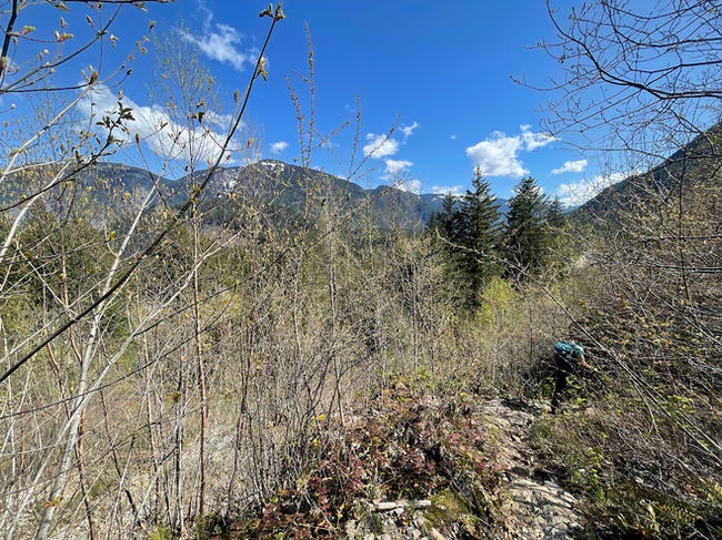
Prior to this, you will cross a small stream where there is no bridge. There is also quite a bit of overgrowth to be aware of.


The caves are located past the top lookout area with bench.
Other Trails Nearby
Trail Reports
To ask us a question or to report an issue with the trail, please email our trails team kpearce@hopemountain.org or info@hopemountain.org as we do not monitor this comment section regularly. Alternatively, feel free to post in our "Friends of Hope & Area Trails" Facebook group to let our team know, as well as learn about all the latest work happening on the trails we manage.


Looking for top-notch digital marketing services near me? We offer tailored strategies to boost your business and enhance online presence effectively.